Current Valley Conditions: Updated Saturday April 27, 2024 at 22:00 PDT
4.6°C
Sunrise: 05:53 | Sunset: 20:26
Current Valley Conditions: Updated Saturday April 27, 2024 at 22:00 PDT
40°F
Sunrise: 05:53 | Sunset: 20:26
Snow Report and Mountain Conditions: Updated April 27 at 4:45 PM
- New:
- 5 cm
- 24 hr:
- 5 cm
- 48 hr:
- 6 cm
- 7 Days:
- 20 cm
- Season:
- 992 cm
- Base:
- 216 cm
Alpine: -5 °C
Wind: High at 43 - 49 km/h from the S
Visibility: Limited
Freezing Level: 1600 m
Mid Mountain: -2 °C
Wind: Light at 11 - 19 km/h from the SE
- New:
- 1 in
- 24 hr:
- 1 in
- 48 hr:
- 1 in
- 7 Days:
- 7 in
- Season:
- 390 in
- Base:
- 85 in
Alpine: 23 °F
Wind: High at 43 - 49 km/h from the S
Visibility: Limited
Freezing Level: 994 ft
Mid Mountain: 28 °F
Wind: Light at 11 - 19 km/h from the SE
Alpine Forecast
Issued:
Saturday, April 27, 2024 at 3:00:00 PM PST
Synopsis
An unsettled pattern will continue to move a series of disturbances across the BC south coast through the weekend, bringing general flurry activity along with gusty ridgetop winds.
The pattern is expected to stabilize near the start of the week with some sunny periods reappearing, ridge winds easing to light and temperatures becoming milder through next week.
Tonight
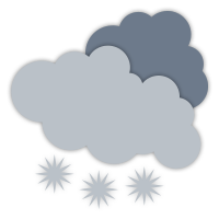
Cloudy with scattered flurries.
Alpine Temperature: Low -5 °C
Wind south: 10-20 km/h gusting to 40 km/h.
Freezing Level: 1200 metres
Accumulation: 3-5 cm.
Sunday
Cloudy with flurries picking up in the afternoon.
Alpine Temperature: High 0 °C
Wind south: 15-25 km/h gusting to 50 km/h.
Freezing Level: 1700 metres
Accumulation: 4-8 cm.
Monday
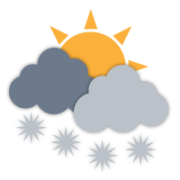
Mainly cloudy with isolated flurries late afternoon.
Alpine Temperature: Low -5 °C, High 0 °C
Wind south: 10-30 km/h.
Freezing Level: 1800 metres
Accumulation: 1-3 cm.
Tuesday

A mix of sun and cloud.
Alpine Temperature: Low -5 °C, High -1 °C
Wind light to 15 km/h.
Freezing Level: 1500 metres
Wednesday
A mix of sun and cloud.
Alpine Temperature: Low -4 °C, High 0 °C
Light ridge wind.
Freezing Level: 1800 metres
Thursday
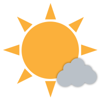
Sunny with cloudy periods.
Alpine Temperature: Low -3 °C, High 2 °C
Light ridge wind.
Freezing Level: 2200 metres
Friday
Sunny with cloudy periods.
Alpine Temperature: Low -5 °C, High 4 °C
Wind light to 15 km/h.
Freezing Level: 2500 metres
Saturday
A mix of sun and cloud.
Alpine Temperature: Low 1 °C, High 7 °C
Mostly light ridge wind occasionally gusting to 30 km/h.
Freezing Level: 3300 metres
This alpine forecast is provided by RWDI
Valley Forecast
Issued:
Saturday April 27, 2024 at 16:00 PDT
Tonight
Cloudy with 60 percent chance of showers this evening. Rain beginning near midnight. Wind south 20 km/h becoming light this evening. Low plus 4 except 7 near Pemberton.
Sunday
Rain. Wind becoming southwest 20 km/h near noon. High 6 except 12 near Pemberton. UV index 1 or low.
Monday
A mix of sun and cloud with 30 percent chance of showers. High 8.
Tuesday
A mix of sun and cloud. High 11.
Wednesday

Sunny. High 13.
Thursday
A mix of sun and cloud. High 17.
Friday
A mix of sun and cloud. High 17.
Tonight
Cloudy with 60 percent chance of showers this evening. Rain beginning near midnight. Wind south 20 km/h becoming light this evening. Low plus 4 except 7 near Pemberton.
Sunday
Rain. Wind becoming southwest 20 km/h near noon. High 6 except 12 near Pemberton. UV index 1 or low.
Monday
A mix of sun and cloud with 30 percent chance of showers. High 8.
Tuesday
A mix of sun and cloud. High 11.
Wednesday
Sunny. High 13.
Thursday
A mix of sun and cloud. High 17.
Friday
A mix of sun and cloud. High 17.