Editor’s Note: This informative post was originally written in 2016, so we’ve updated it with the latest alpine hiking trail and mountain operation information and added the Blackcomb Ascent Trails.
Guest Author: Steve Andrews
Steve Andrews is a freelance writer and photographer living in Whistler. He is in constant pursuit of deepening his relationship with Mother Nature through having the most fun possible on the abundant terrain at our disposal in the area, using a variety of means to interact with the elements.
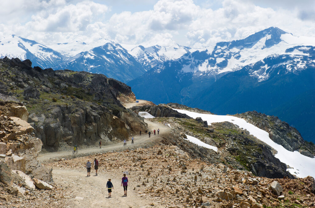
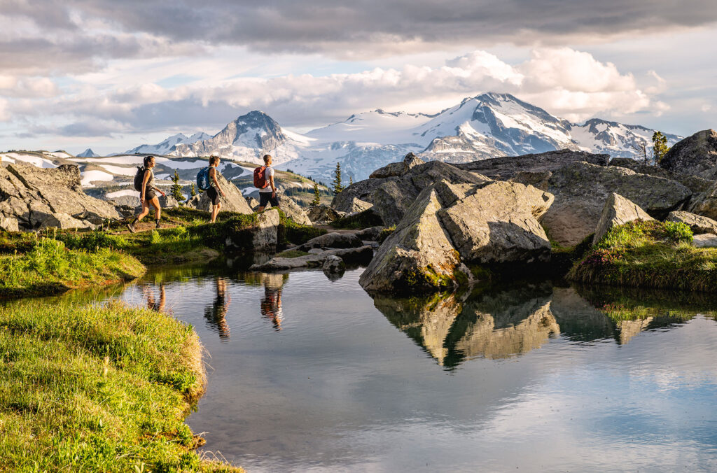
The Coast Mountains alpine landscape is right up there for some of the best scenery and alpine hiking on the planet. The sheer size of the mountains and the glaciers, rivers, lakes and meadows are a lot to take in. But getting to this alpine playground is often the hardest part – with changes in elevation well over 1,500 vertical metres (5,000 feet) it can take up to a full day to get from the valley floor to the peak.
However, on Whistler and Blackcomb mountains, you can access a vast network of alpine hiking trails with a little help from the gondolas and chairlifts. For those who want to experience the stunning beauty in the alpine without the extraneous effort to get above the treeline, these lift-accessed hiking trails are for you.
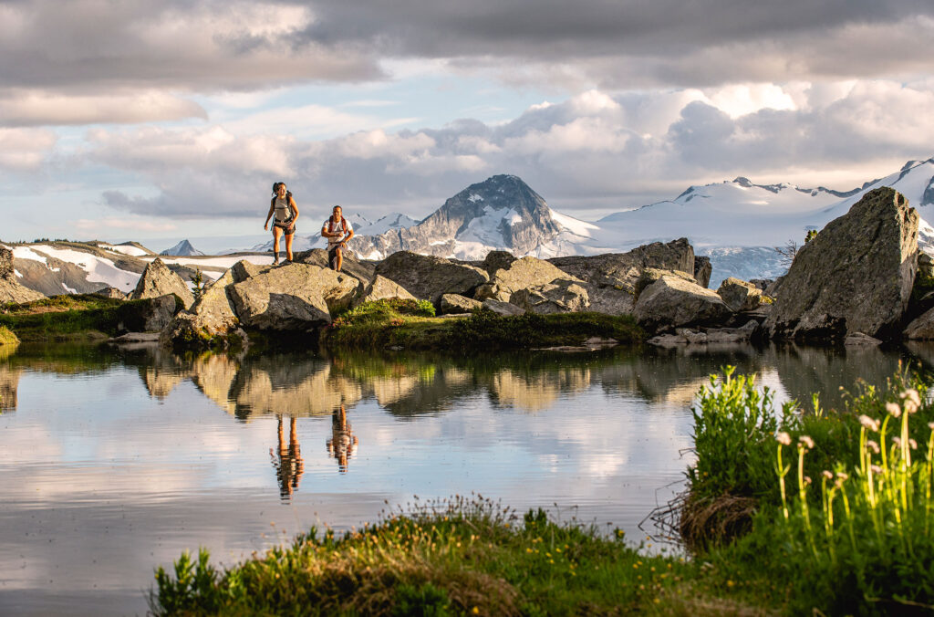
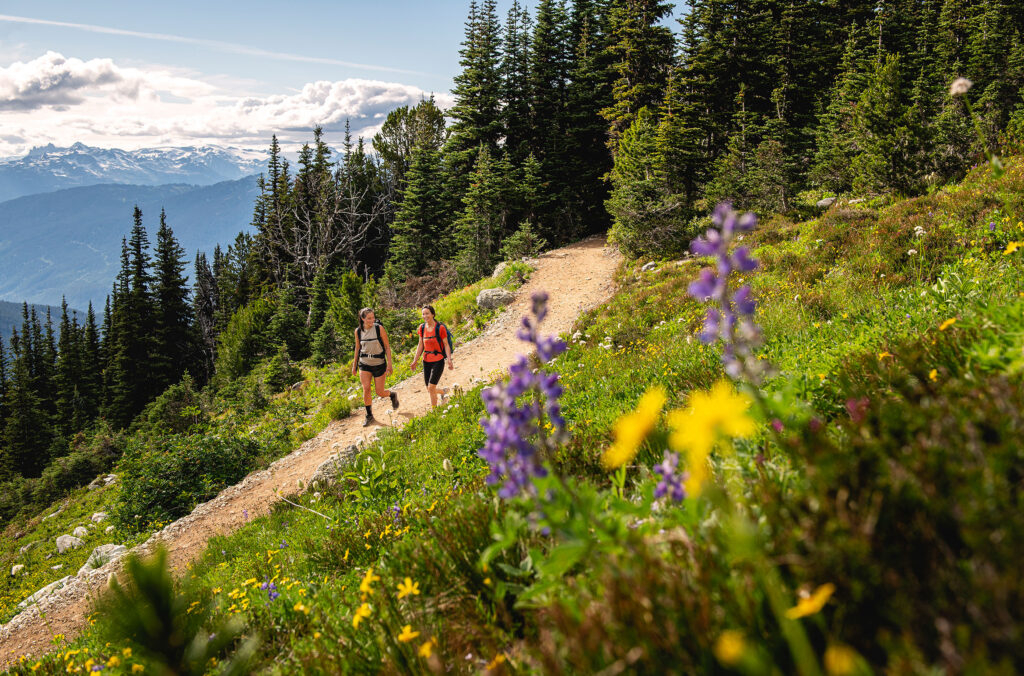
Whistler Blackcomb has invested a great deal in its alpine hiking trail network. From easy green walks to more challenging advanced routes, everyone can find a way to enjoy the majestic scenery and alpine air, just a short hop from the gondola. The journey starts in Whistler Village, one of the world’s epicentres for mountain fun.
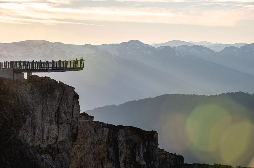
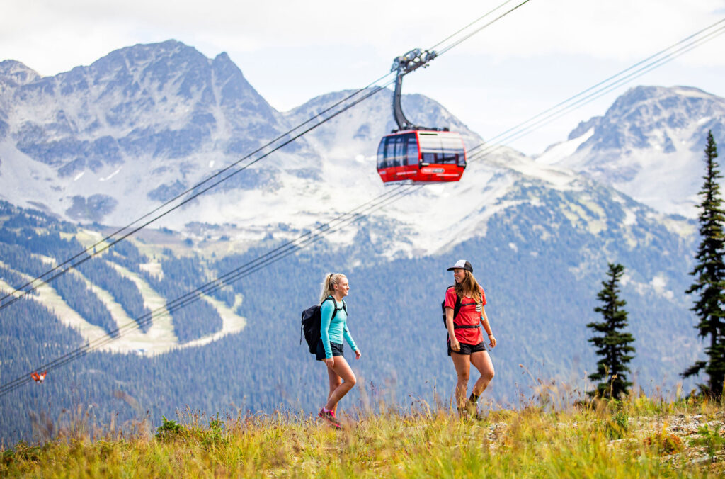
A sightseeing ticket gets you access to both mountains (sightseers must use the Blackcomb Gondola located in the Upper Village) with a ride between them on the PEAK 2 PEAK Gondola, as well as access to the Whistler Peak Suspension Bridge / Cloudraker Skybridge and Raven’s Eye (off the top of the Peak Chair).
If you are short on time, the sightseeing experience alone gives you fantastic views with minimal energy expended in a couple of hours. But if you really want to get to know the alpine landscape and escape civilization for a while, the hiking trails are the way to go. Here’s an overview of the different trails available, to help you plan the perfect day in the unique alpine landscape that will have you back for dinner in the village or one of the renowned on-mountain dining options.
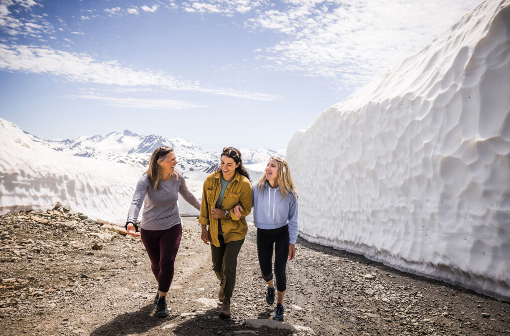
Good to Know: The alpine hiking season generally runs from June to September. Early season hiking trails may not be open but you can walk between the snow walls on Whistler Mountain, while August tends to be the best time to catch wildflowers in bloom. Natural features, lift operating times and trail opening dates change from year to year depending on weather conditions and snow melt – check with the Whistler Visitor Centre, Guest Services, or online for current information.
Whistler Mountain Alpine Hiking Trails
View Map & Suggested Hiking Times (PDF)
From the Roundhouse at the top of the Whistler Village Gondola, you have several options. You can either:
- Start hiking right from the Roundhouse to get into some beautiful subalpine terrain.
- Take the Peak Express Chair to the top where the Whistler Peak Suspension Bridge, stunning views and more trails await, or
- Ride the PEAK 2 PEAK Gondola to Blackcomb Mountain for access to next-level views of the Fitzsimmons Valley, Garibaldi Provincial Park and the town of Whistler.
Easier Alpine Hiking Routes
Whistler Summit Interpretive Walk
Length 1.6 kilometres (1 mile)
Elevation Change: 30 metres (98 feet)
Approx Time: 60 minutes
This walk allows you to enjoy singletrack hiking trails over two loops from the highest point on Whistler Mountain. From here you will see stunning views of Black Tusk, the Tantalus Range and as much of the Coast Range as visibility will allow. Along the way, you will find informative interpretive displays sharing history and knowledge about Whistler and the surrounding area.
Peak Express Traverse
Length 0.6 kilometres (0.4 miles)
Elevation Change: 63 metres (207 feet)
Approx Time: 10 minutes
This trail isn’t much on its own, but you will still want to make sure you travel this route as it provides access to the Peak Chair from the Roundhouse. From there you can take an easy 5-minute ride up to the top of Whistler Mountain where several different hiking options await. You can take the trek across the Whistler Peak Suspension Bridge, or you can simply hang out at the top near the Inukshuk and take in the stunning views.
Spearhead Loop
Length: 1.2 kilometres (0.7 miles)
Elevation Change: 20m (66 feet)
Approx Time: 60 minutes
For the perfect, easy introduction to the alpine trails, try the Spearhead Walk. This loop starts at the Roundhouse and traverses the surrounding subalpine terrain, including directly underneath the PEAK 2 PEAK Gondola. You can see all the way down to Whistler Village and the surrounding lakes, giving you a unique perspective of the town from up high. Since you return right to the Roundhouse, you can make an easy stop for bathrooms or a bite to eat before continuing on your way.
Intermediate Alpine Hiking Routes
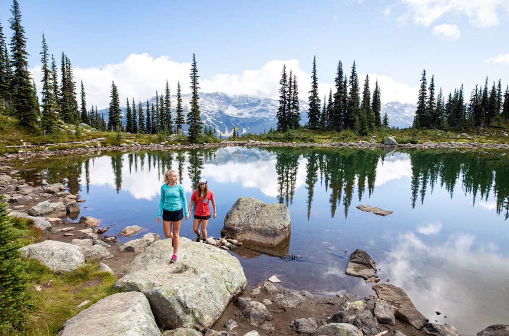
Harmony Lake Loop
Length 1.9 kilometres (1.2 miles)
Elevation Change: 120 metres (394 feet)
Approx Time: 90 minutes
Harmony Lake is the perfect trail for those who want a bit of exercise, but don’t want to go too far from civilization. This moderate hike descends from the Roundhouse down towards Harmony Lake. If you find yourself with a fair amount of energy down at the lake, you could consider coming back via Harmony Meadows or continuing up the High Note Trail.
But if you find that the hike down was enough, you will have a perfect venue to relax and take in the massive surrounding landscape before heading back up towards the Roundhouse – note the elevation change, you will definitely be burning some calories here!
Advanced Alpine Hiking Routes
Harmony Meadows
Length: 1.6 kilometres (1 mile)
Elevation Change: 81 metres (266 feet)
Approx Time: 45 minutes
Harmony Meadows gives you a faster route down to the lake (or up if you are travelling in the opposite direction). It involves less traversing for a more direct route than the Harmony Lake Trail but still ends up in the same area. You can take the Harmony Lake Loop from the end here to extend your hike or continue onwards to the High Note Trail.
High Note Trail
Length: 9.4 kilometres (5.8 miles)
Elevation Change: 420 metres (1,378 feet)
Approx Time: 4 hours
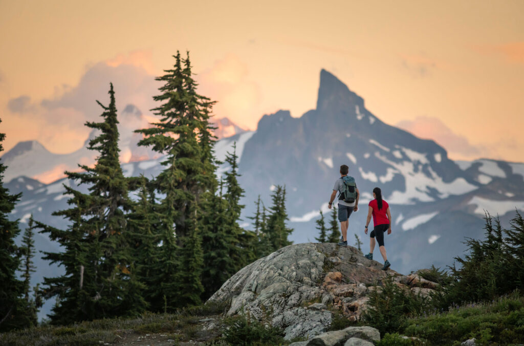
If there is only enough time in your day for one epic trail, make it the High Note. This trail leads you on a high alpine traverse of Whistler Mountain and the adjacent Musical Bumps. On your way, you will ascend and descend multiple times, so good fitness and footwear are highly recommended, as are water and other key pieces of hiking gear. Note the recommended hiking time for this trail is around 3 to 4 hours, so be sure to head off early to ensure you are back before the lifts shut for the day.
The trail begins at the top of the Peak Express chairlift and heads around the backside of Whistler Mountain with unbelievable views southward towards Black Tusk, a stratovolcano with an iconic lava spire that towers over the landscape. In the distance beyond is Garibaldi, the volcanic mountain that serves as the namesake for Garibaldi Provincial Park, a world-class reserve of wilderness that seemingly extends forever across the horizon.
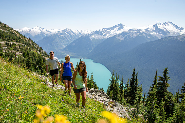
As you venture out towards the musical bumps, you will be treated to an impressive view of the turquoise-coloured Cheakamus Lake. This glacier-fed lake will cause you to stop and admire the scenery for a while; serving as an ideal place to rest for a snack to refuel for the remainder of your journey.
The trail extends out to Oboe, the last of the musical bumps before the turnaround point. It is here that you can continue into the Garibaldi Provincial Park boundary for a true backcountry alpine hiking experience. From this point you are on your own; so proper planning is essential. If you choose to return, the trail continues around and down into the beautiful valleys at Symphony and Harmony Bowl before climbing back up to the Roundhouse.
Half Note Trail
Length: 3.2 kilometres (2 miles)
Elevation Change: 136 metres (446 feet)
Approx Time: 75 minutes
If you wish to catch the best of the High Note Trail but are short on time, you can take the Half Note Trail as a shortcut. You start on the High Note Trail, but cut off at the Half Note signpost and down Pika’s Traverse Road back to the Roundhouse. This can cut a fair amount of time off from your High Note hike, so head here if you are short on time but crave the renowned views of High Note.
Pika’s Traverse Road
Length: 2.3 kilometres (1.4 miles)
Elevation Change: 272 metres (892 feet)
Approx Time: 60 minutes
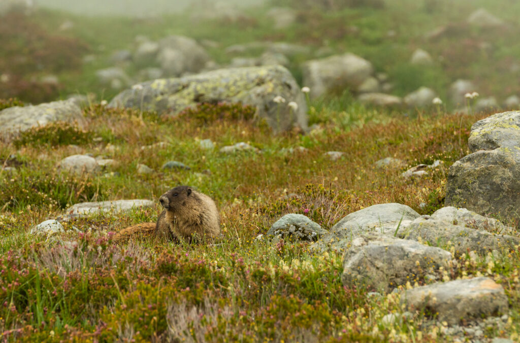
Named after the small, squealing rodents that hang out in the alpine rocks, Pika’s Traverse is a mountain access road that still offers impressive views across the valley towards Blackcomb and is often the first road to open in the early season offering an incredible walk between the snow walls before the other trails open.
The trail can be steep in some sections, and it is important to stick to it due to the loose rock in surrounding fields – watch your feet! If you’ve visited in the winter, you’ll be shocked at how different the terrain is, as it looks like another world in the summer. Seeing the terrain without snow gives you a greater appreciation for what people ride in the winter.
Musical Bumps Trail
Length: 1.5 kilometres (0.9 miles)
Elevation Change: 119 metres (390 feet)
Approx Time: 3 Hours
The Musical Bumps Trail is an out-and-back, taking you to the summit of Flute, or you can choose to continue your hike into Garibaldi Provincial Park.
Mathews’ Traverse Road
Length: 0.9 kilometres (0.6 miles)
Elevation Change: 82 metres (269 feet)
Approx Time: 45 minutes
For those who wish to experience the alpine landscape but are either short on time or have lower fitness, you can still enjoy the amazing views from the peak on Mathews’ Traverse. This trail leads you from the Peak to the Saddle, where the road forks towards Half Note, Burnt Stew, or Pika’s Traverse. The easy grade can support a walking pace and can accommodate the inexperienced hiker. At any time, you can turn around and download using the Peak Chair for classic mountain views from the comfort of a chairlift.
Blackcomb Mountain Alpine Hiking Trails
View Map & Suggested Hiking Times (PDF)
Over on Blackcomb, you have similar options with the trails around the Rendezvous Lodge providing a plethora of subalpine options.
Easier Alpine Hiking Routes
Alpine Loop
Length: 1.4 kilometres (0.9 miles)
Elevation Change: 72 metres (236 feet)
Approx Time: 30 minutes
The Rendezvous Lodge sits right at the treeline on the border between the alpine and subalpine. You can see the subtle changes in these two climate regions on the Alpine Loop, a route that also provides panoramic views of Fitzsimmons Valley and Whistler Mountain.
Moderate Alpine Hiking Routes
Overlord Trail
Length: 3.7 kilometres (2.3 miles)
Elevation Change: 124 metres (407 feet)
Approx Time: 60 to 80 minutes
This is the signature trail on Blackcomb Mountain, extending from the Alpine Loop into Garibaldi Provincial Park. From this trail, you can access the rest of the Blackcomb network. The Overlord Trail is perhaps the best place to see alpine wildflowers with seemingly endless alpine meadows along the way. If you really want to make an adventure out of your trip, continue onward towards Garibaldi Provincial Park for true solitude amidst the vast backcountry at your disposal.
Marmot Trail
Length: 1.2 kilometres (0.7 miles)
Elevation Change: 183 metres (600 feet)
Approx Time: 40 minutes
Want to get some uphill burn going? Branching off from the Overlord Trail, the Marmot Trail is a short trail leading to where the trees end and the rugged rocky terrain begins. You can do an out-and-back if you want some downhill or opt for the Southside Green Road for your return.
Lakeside Loop
Length: 2.2 kilometres (1.4 miles)
Elevation Change: 72 metres (236 feet)
Approx Time: 40 minutes
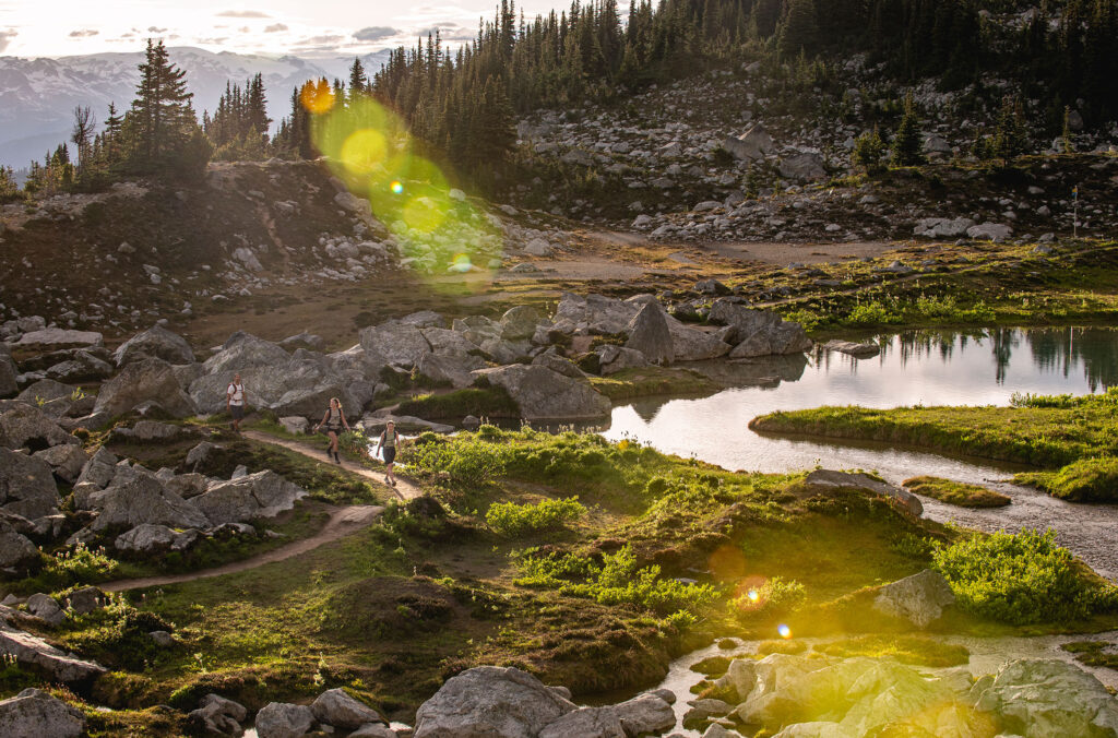
This short loop (which must be hiked clockwise) heads up to Blackcomb Lake, a great picnic spot. It is perfect for those with limited time who want a great view of the alpine wildflowers and vast scenery beyond. It continues past the lake to the Overlord Trail where you can head back towards the lodge or continue on to Decker Loop.
Advanced Alpine Hiking Routes
Decker Loop
Length: 3.3 kilometres (2.1 miles)
Elevation Change: 214 metres (702 feet)
Approx Time: 75 minutes
Decker Loop is a challenging trail, but don’t let that dissuade you. The rewards for hiking this route will make themselves clear, especially once you make the steep but rewarding climb up the ridge just at the Garibaldi Provincial Park boundary.
The trail descends through a boulder field that requires some scrambling to a second, tiny lake with incredible views of the Overlord Glacier. As the furthest point on the trail, this is an excellent spot to rest, snack and contemplate the majestic surroundings. Here the trail meets up with the Overlord Trail, leading you back through the subalpine landscape to the bottom of the ridge before heading back to the resort. This is the best trail to see alpine wildflowers when they are in bloom.
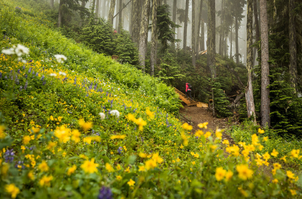
Blackcomb Ascent Trails
If you’re looking to really earn your mountain views you can opt to hike from the base of Blackcomb Mountain through old-growth, coastal rainforest. There are three interconnected trails that take you from the valley to the alpine, gaining 1,200 metres in elevation over 6.2 kilometres.
If you’re planning on using the gondola system at any point during these hikes (to go up / down from mid-station, to get down from the top or head across the PEAK 2 PEAK Gondola), you need to buy a ticket ahead of time. You can opt for either a Blackcomb Ascent 1-Day Ticket or a Download Midstation Only Ticket, which can be bought online or at Whistler Blackcomb Guest Relations (access is free to summer 2023 360 Ticket & Passholders, Winter 2023/24 Passholders and Summer 2023 Bike Park Passholders).
Little Burn
Length: 0.8 kilometres (0.5 miles)
Elevation Change: 74 metres (243 feet)
Approx Time: 30 minutes
Starting off relatively mellow, you’ll find yourself weaving around ski runs as you head up the mountain in the cool shade of the trees. Look out for the signs along the way, which give you information on the nearby flora and fauna.
Big Burn
Length: 2 kilometres (1.2 miles)
Elevation Change: 435 metres (1,472 feet)
Approx Time: 70 minutes
Okay, so you clocked the elevation change for this one, right? The trail name is apt and takes you to Blackcomb Gondola mid station. From here, you can either jump on the gondola to get to the top (you need to buy a lift ticket before you head up) or continue up via Heart Burn.
Heart Burn
Length: 3.4 kilometres (2.1 miles)
Elevation Change: 667 metres (2,185 feet)
Approx Time: 1 hour and 50 minutes
This trail takes you right up to the Rendezvous Lodge on Blackcomb Mountain where you can take in the mountain views from the patio with a cold beer in hand. Now, you can either head across the PEAK 2 PEAK to check out Whistler Mountain or download using the Blackcomb Gondola.
For more information on the Blackcomb Ascent Trails take a look at our dedicated blog post.
Six Quick Hiking Tips
- Buy your tickets ahead of time so you can upload early and have the trails to yourself
- Make sure you are dressed for mountain weather (which can change quickly). For intermediate and advanced routes ensure you are wearing hiking footwear and carrying food, water and other essential gear for your planned length of hike
- Check trail opening and lift operating times with the Whistler Visitor Centre or Whistler Blackcomb Guest Services and plan your route accordingly so you don’t have to rush back to download
- Pack out what you pack in and leave the environment pristine for the next person
- Keep your eyes peeled and ears open for the best chance of viewing wildlife – that includes the chairlift and gondola ride
- Stick to the trails – the alpine environment is delicate and damage can occur quickly. Take a read of our etiquette guide to make sure you’re exploring responsibly.
This spring, for every third night you book between March 1 - April 30, 2024, receive a free $75 CAD Whistler Après Voucher. Book your summer stay by April 30, 2024, and save up to 30% on lodging and 20% on activities. Plus, you’ll receive a free $150 Activity Voucher on stays of 3 or more nights. Secure your mountain getaway with Whistler.com for personalized service and the local knowledge of our Whistler-based team.